Request access to geological, geophysical, geotechnical and hydrogeological data
During our preparations before constructing new metro lines and stations, Metroselskabet conduct massive testing, exploration and analysis of the geological, geophysical, geotechnical and hydrogeological conditions in the areas where we plan to do the construction. We are happy to provide these data to be used in other projects and research.
Before and under construction of new metro lines and stations, Metroselskabet samples and analyses a large quantity of water samples mainly from the primary ground water aquifers. We are also happy to provide these data to be used in other projects and research.
Please be notified of the following disclaimer:
The information provided is compiled from factual data collected during the preparation and construction of Cityringen Metro. Metroselskabet I/S will not accept any liability for any errors or omissions in that data, Metroselskabet I/S or any persons acting on its behalf cannot provide any comment or interpretation of any matter arising from the documentation supplied under this agreement. The recipient must seek his own professional advice should the need arise.
To gain access to the data, you will have to submit a request for the data by creating a user profile on our ftp-server, which will provide you with all Metroselskabet public data:
Request access to geo dataQuick guideline
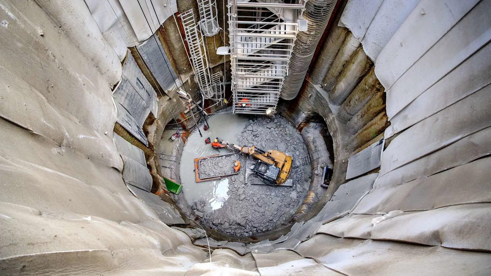
The data provided are separated by the different station and shafts along the track alignment of the Cityring and Nordhavn project and will in the future also include the Sydhavn project.
Each station folder contains the following folder setup:
- Project
- Station
- Appendices: Laboratory analysis on soil and water
- Borehole profiles: Log or profile of each well in the vicinity of the station
- Brazil tests: provided on a limited amount of wells
- Chemical analysis: On soil and water, provided on a limited amount of wells
- Classification tests: The grain size distribution of a number of wells
- Consolidation tests: provided on a limited amount of wells
- Digital color photos: Photos on a few bore cores
- Geophysical logging: Both geophysical and hydrogeologically loggings
- Localisation sheets: Location of the wells in the vicinity of the station
- Long period pumping test: Pumping test lasting over several days
- Pumping test: Both hydraulic test and step test
- Reports: All factual reports for the given site
- Unconfined compression test (UCS): provided on a limited amount of wells
- Station
For Water Chemistry data, all data are available in geoform pr. Project Cityringen, Sydhavnsmetro Etc. Data from the Nordhavns Metro is not available. Geoform database can be read in GeoGIS2020 or in Excel.